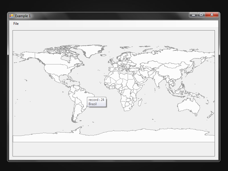
Example 1
Opens and display a shapefile in a Windows application using
the EGIS.Controls.SFMap Shapefile map control.
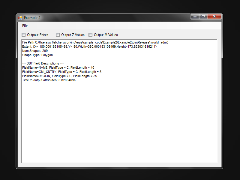
Example 2
Opens a shapefile and displays a description of the shapefile attributes
using the EGIS.ShapeFileLib class library.
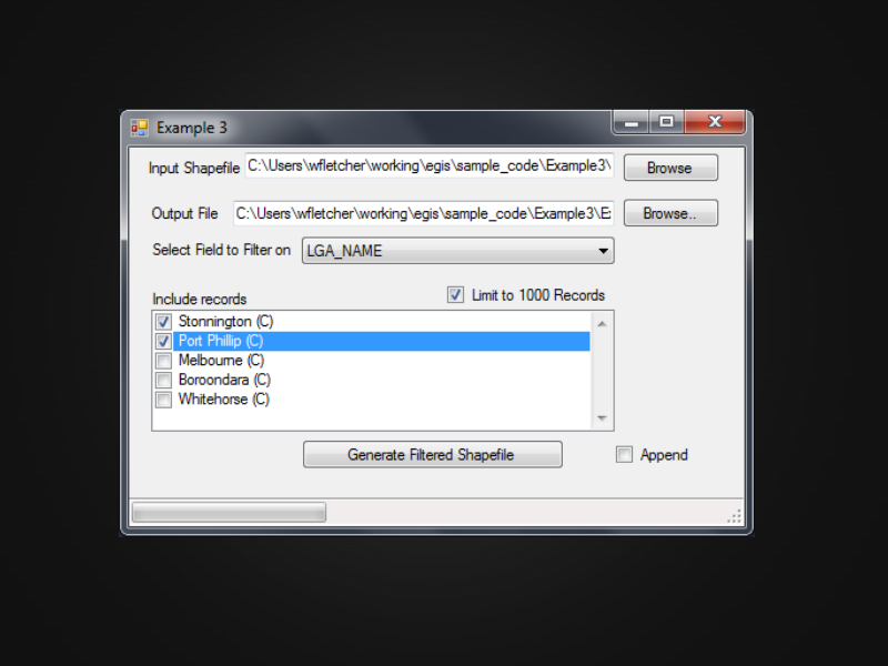
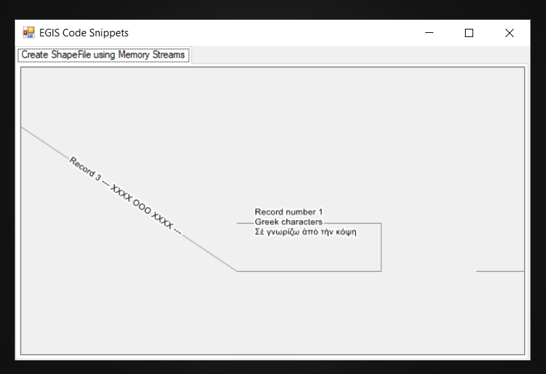
Example 3
Opens a shapefile and creates a new shapefile using
the EGIS.ShapeFileLib ShapeFile and ShapeFileWriter classes.
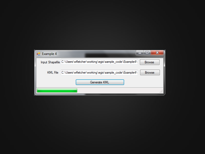
Example 4
Converts a shapefile to a Google Earth KML file
using the EGIS.ShapeFileLib class library.
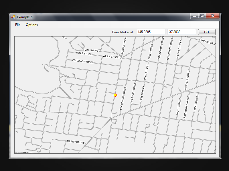
Example 5
Displays a GPS position marker on a map using the EGIS.Controls.SFMap control.
Example 6
Extends Example 5 and shows a map displayed in a Windows Form, with background tiles from Open Street Map
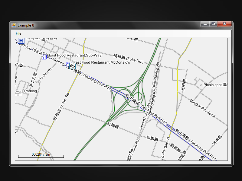
Shows how to use an ICustomRenderSettings class to render roads in different colors
based on the road type.
The example also show how to render a POI point shapefile with different icons depending on the POI category.
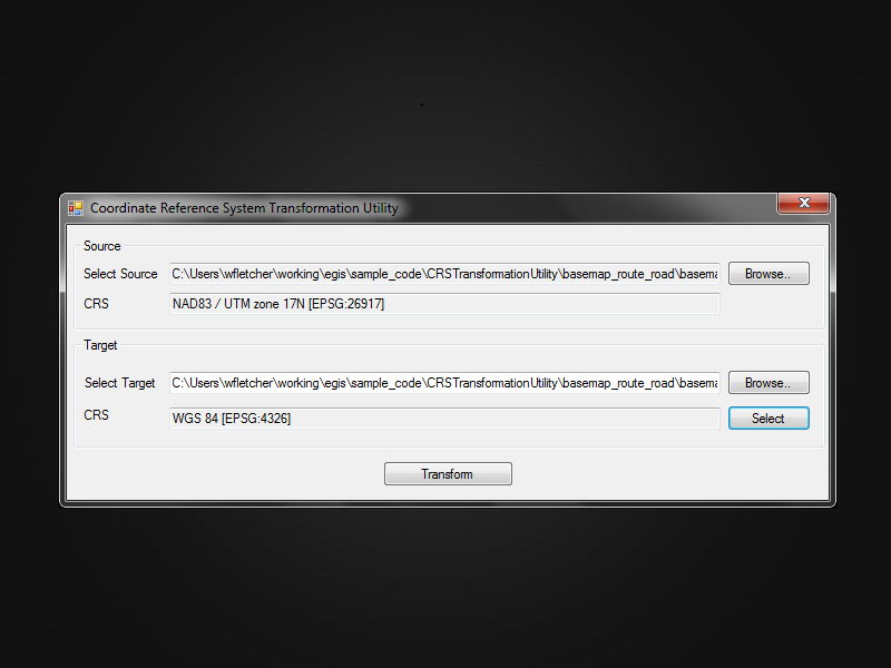
Coordinate Reference System (CRS) Transformation Utility to convert shapefile coordinates into a new CRS. The utility can transform from projected coordinates to WGS84 geodetic coordinates.
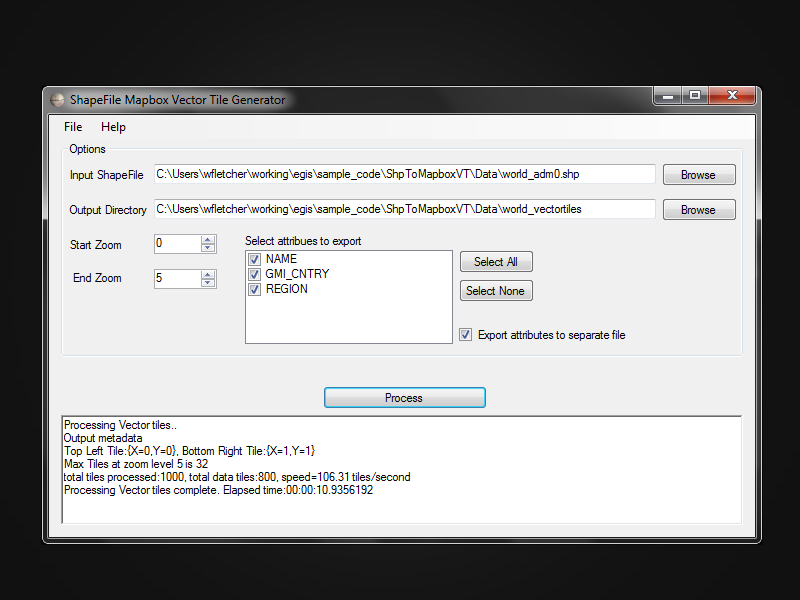
ShpToMapboxVT Shapefile to Mapbox Vector Tile. Utility to generate Mapbox .mvt vector tiles from a shapefile.
Code snippets including creating and loading a shapefile using MemoryStreams.